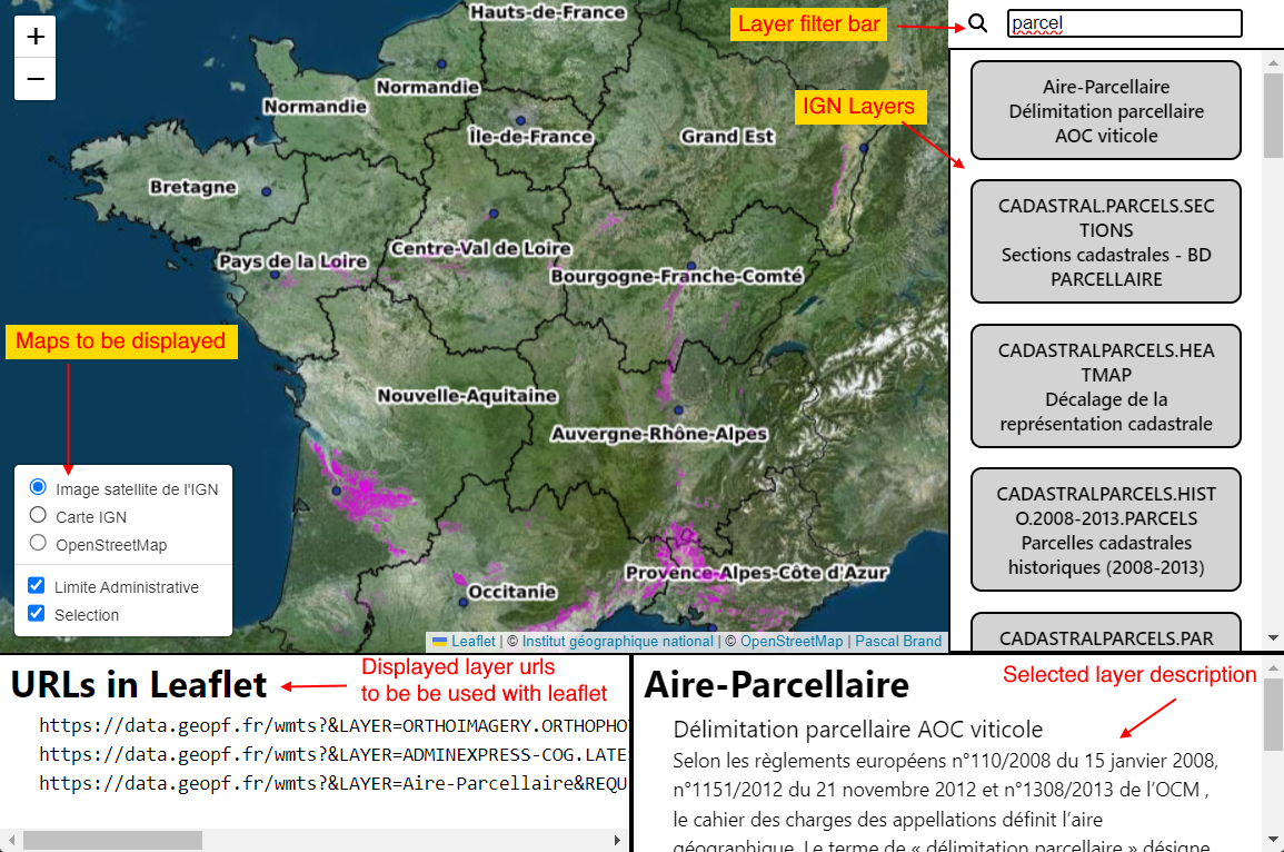
This website is available as https://pascal-brand38.github.io/ign-layers-in-leaflet/
This website proposes all layers provided by IGN. When displayed, the bottom-left part of the website shows all urls used in the displayed using LeafLet.
- IGN - Institut géographique national (France)
- Satellite
- Map
- SCAN 25 (include topo TOP 25 maps)
- All free layers provided by IGN: Cadastre, Solaire, Eolien,...
- Open Street Map, and Open Topo Map
- Google Map: satellite and map view
- Stadia maps
