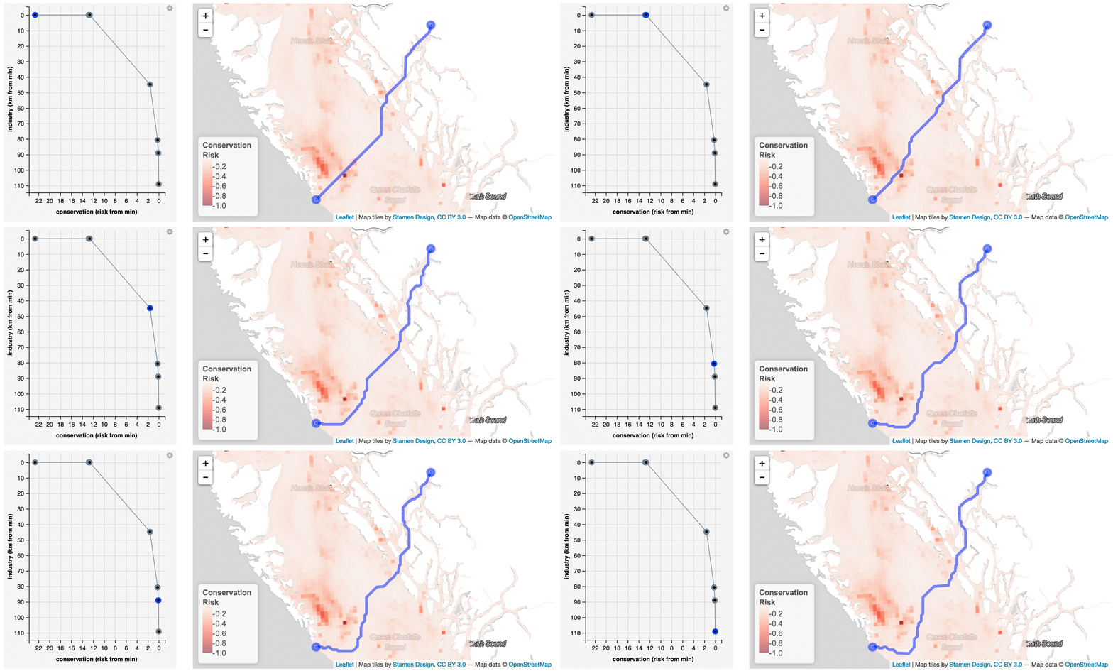
Routing ships to avoid whale strike
Routes between starting and end points are selectable from the drop-down selections as ports and major entry points to British Columbia, or arbitrary start and end points can be entered. Routes are then visible in the interactive map based on varying levels of avoidance of marine mammal hotspots as derived by summing across marine mammal density surfaces and weighting by conservation concern. This uses a prescriptive least-cost routing approach rather than post-hoc evaluation of proposed routes.
This is a work in progress. You can see the Shiny app here:
http://shiny.env.duke.edu/bbest/routing
Many thanks to:
- RStudio and especially @jcheng5 for Shiny and the integrated leaflet package, now with raster image support.
